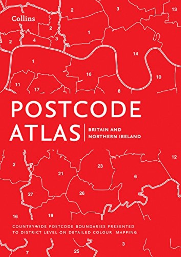
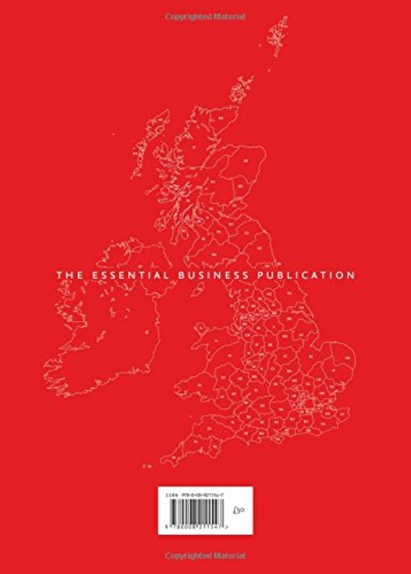
An essential business tool, this postcode atlas clearly shows the postcode boundaries (down to district level) for the whole country on detailed colour mapping. In central London postcodes are shown to sector level.
Scale of main maps: 1:263,000 (4.15 miles to 1 inch).
This invaluable atlas shows postcode areas and districts for the whole of the UK and has been updated with all the latest boundary changes.