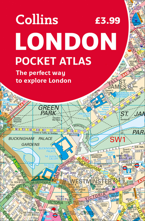
This fully updated atlas features clear Collins street mapping of Central London and the surrounding area. Coverage is from Chiswick in the west to Barking in the east, and Hampstead in the north to Dulwich in the south. Scale is 1:20,000 (3.17 inches to 1 mile). Coverage of Central London is at 1:12,500 (5.1 inches to 1 mile).
This neat, handy little pocket-sized atlas is an ideal purchase for resident and visitor alike. It has an extensive area of coverage and shows the centre of London at an extra large scale. The Collins maps are exceptionally clear and easy to use with colour coding for roads as well as locations such as shops, hospitals, hotels, schools etc.