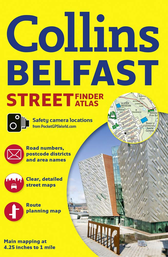
Discover Belfast with this handy, easy-to-use atlas in full colour, with fully updated clear street level mapping. An extensive area of Greater Belfast is covered, with clear, concise mapping at a scale of 4.25 inches to 1 mile, and a full index to street names. The area covered by the mapping extends from Ladybrook in the west, to Holywood in the east and from Belfast Castle in the north to Newtownbreda in the south.