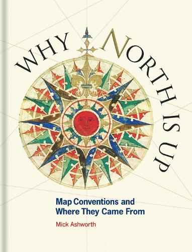
Книга Why North is Up: Map Conventions and Where They Came From
Many people have a love of maps. But what lies behind the process of map-making? How have cartographers through the centuries developed their craft and established a language of maps which helps them to better represent our world and users to understand it?
This book tells the story of how widely accepted mapping conventions originated and evolved – from map orientation, projections, typography and scale, to the use of colour, map symbols, ways of representing relief and the treatment of boundaries and place names. It charts the fascinating story of how conventions have changed in response to new technologies and ever-changing mapping requirements, how symbols can be a matter of life or death, why universal acceptance of conventions can be difficult to achieve and how new mapping conventions are developing to meet the needs of modern cartography.
Here is an accessible and enlightening guide to the sometimes hidden techniques of map-making through the centuries.
"'The book is ideal for the satnav generation, showing how cartographic language has evolved from Ptolemy's Geographia to crowd-sourced online OpenStreetMap. But this is far from just an introduction for newcomers; most readers are sure to discover something new here...the book is copiously illustrated with relevant map extracts, faithfully reproduced; many are from the Bodleian Library, other from a variety of other sources.'" - Sheetlines
"'Ashworth presents an entertaining foray into the history, structure and evolution of maps and mapmaking. His conversational style makes learning about the intricacies of mapmaking, specifically the importance of legends, grids and symbols, fun.'" - The Globe
"'For anyone with an interest in maps it should be essential reading. … I would expect this book to be popular - it certainly deserves to be.'" - The Bulletin of the Society of Cartographers
"'Ashworth provides an eminently readable introduction that is beautifully illustrated with a wide selection of carefully reproduced maps. Both a beautiful book to own and to give, this is a must-have for anyone with an interest in maps.'" - NHBS