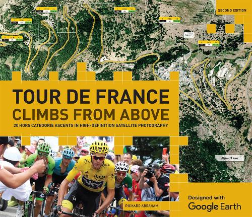
The very first high-definition satellite atlas of the Tour de France's most famous, historic and toughest climbs (known in the sport as Hors Catégorie) – roads so steep and punishing they are beyond classification.
Experience the thrill and intensity of the Tour de France's most challenging climbs using the breathtaking photography of Google Earth. In Tour de France: Climbs from Above with Google Earth, 20 notorious Tour de France Hors Catégorie climbs – ascents that are beyond classification – are illustrated using Google Earth's high-definition satellite imagery.
Featuring such momental climbs as the 2,715 metre ascent of Col de la Bonette, the historic Great St Bernard Pass, Col du Galibier's incredibly torturous 15 percent gradient climb and Alpe d'Huez's famous hairpins. As well as providing expertly annotated high definition maps of these climbs, the book also explores their rich history, and charts the daring Tour exploits of great Tour riders such as Fausto Coppi and Marco Pantani.
There are more than 220 photographs, providing a unique aerial guide to the twists, turns and topography of each climb and the beautiful surrounding mountain geography. Written by cycling journalist and author Richard Abraham, Tour de France: Climbs from Above with Google Earth explains in authoritative detail the history and challenges of each legendary ascent and is the definitive visual companion to the Tour de France's greatest climbs.