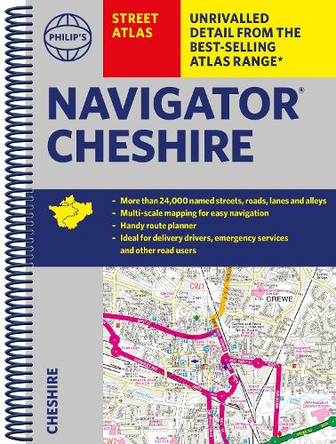
The only atlas with all the named streets in Cheshire.
CHESTER, CREWE, MACCLESFIELD, NORTHWICH, RUNCORN, WARRINGTON, ALDERLEY EDGE, ALSAGER, AUDLEM, CONGLETON, ELLESMERE PORT, FRODSHAM, HELSBY, HOLMES CHAPEL, KELSALL, KNUTSFORD, LYMM, MALPAS, MIDDLEWICH, NANTWICH, NESTON, POYNTON, SANDBACH, TARPORLEY, WIDNES, WILMSLOW, WINSFORD.
Routinely used by the emergency services and perfect for the professional driver, the street maps show every named road, street and lane very clearly, with major roads picked out in colour.
The route planner shows all the A and B roads and can be used to get close to the destination before turning to the relevant large-scale street map.
Packed with useful information including car parks, railway and bus stations, post offices, schools, colleges, universities, hospitals, police and fire stations, places of worship, leisure centres, footpaths and bridleways, camping and caravan sites, golf-courses, and many other places of interest.
The easy-to-use index lists street names and postcodes, plus schools, hospitals, railway stations, shopping centres and other such features picked out in red, with other places of interest shown in blue for quick reference.