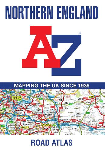
Find your way around Northern England with this fully revised and updated road atlas.
A full colour regional road atlas featuring 52 pages of road mapping.
Covers an area extending to:
- Berwick-upon-Tweed
- Newcastle upon Tyne
- Middlesbrough
- Kingston upon Hull
- Grimsby
- Boston
- Nottingham
- Stoke-on-Trent
- Wrexham
- Chester
- Liverpool
- Blackpool
- Barrow-in-Furness
- Dumfries
The road mapping is shown at a clear 3.5 miles to 1 inch scale (2.2 km to 1 cm) and includes the following features:
- Motorways open with full junction detail, motorways under construction and proposed, service areas, primary routes and destinations, A & B roads, selected minor roads, gradients 1:5 and steeper, tolls, mileages, county boundaries, spot heights and hill shading
- Selected safety camera locations with their maximum speed limits
- Selected fuel stations
- National Park boundaries
- Selected places of interest, tourist information centres and golf courses
Also, within this Northern England Road Atlas are 24 city, town, airport or port plans for:
- Blackpool
- Bradford
- Carlisle
- Chester
- Derby
- Dumfries
- Durham
- Harrogate
- Kingston upon Hull
- Leeds
- Lincoln
- Liverpool
- Manchester
- Middlesbrough
- Newcastle upon Tyne
- Nottingham
- Preston
- Sheffield
- Stoke-on-Trent
- Sunderland
- York
- Manchester Airport
- Kingston upon Hull Port
- Newcastle upon Tyne Port
The index section lists cities, towns, villages, hamlets and locations covered by this atlas.