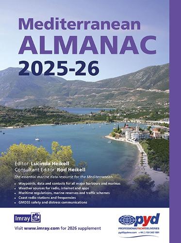
The essential marine data resource for yachts sailing the Mediterranean, the Imray Mediterranean Almanac is published biennially with updates available in a downloadable supplement at the end of the first year.
It includes:
- Data, waypoints and contacts for all major harbours and marinas throughout the Mediterranean Sea plus Atlantic Islands
- Weather sources for radio, internet and apps
- Information on lights and buoys
- Maritime regulations, marine reserves and traffic schemes
- Coast radio stations and frequencies
- GMDSS safety and distress communications
- Harbour plans throughout, with the familiar Imray cartography which adds clarity to their use.
There are the usual detailed revisions throughout this edition, plus many new harbour plans.