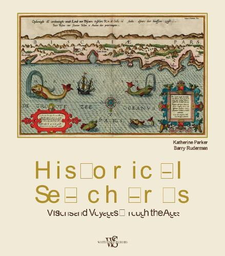
This book shows the history of charts and nautical maps from the earliest known examples to the one used in the Twentieth Century, with a special focus on the map makers and the methods of use from 1300 to 1900. The maps included are part of the collection owned by Barry Lawrence Rudeman Antique Maps Inc., the world leader institution for nautical maps. The reader can find in this book the most indicative of trends and ideas through time. For each example in the volume, the reader will find out how the maps where designed and created, as well as how they were used during navigation or in preparation of the journey.