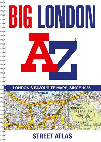
Navigate your way around London with this detailed, easy-to-use and up-to-date A-Z Street Atlas.
Large scale A-Z street mapping of London. This A4 street atlas offers the perfect combination of coverage and clarity, the area covered ranges from Heathrow Airport all the way to Chingford at a scale of 4.25 inches to 1 mile, while a detailed map of Central London is at a larger scale of 8.5 inches to 1 mile.
The mapping features transport connections, places of interest, public buildings, postcode districts, one-way streets, Congestion and Low Emission Zones
This comprehensive street atlas of London also includes:
• An overview map of the Congestion Charging Zone
• West End Theatre and Cinema maps
• The London Rail & Tube Services Map
• London Underground map
A comprehensive index lists streets, selected flats, walkways and places of interest, place, area and junction names. Additional healthcare (hospitals, walk-in centres and hospices) and transport (National Rail, London Tramlink, Docklands Light Railway, London Underground and Overground stations, and River Bus pier) are indexed as well.