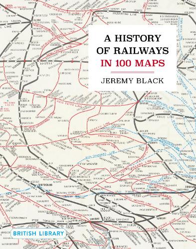
Continuing the thematic strand of the successful and proven British Library ‘100 Maps’ series, this new volume traces the fully international history of railways from their beginnings in the north-west of England through to the inter-continental lines of today.
Arranged chronologically, and with some 140 newly photographed maps and ephemera from the British Library’s cartographic holdings, A History of Railways in 100 Maps explores both the progress of the railways and railway infrastructure across the globe, and through mountains, deserts, cities and even under oceans. The volume also charts the development of how railways were surveyed and presented in two- and three-dimensional forms for the purposes of engineering and construction, politics, economics and indeed war.
A dedicated chapter looks at fantasy and literary railway maps, while the book concludes with a presentation of recent breakthroughs in railway infrastructure, design and mapping and also looks ahead to future developments in this most lasting of transport inventions.