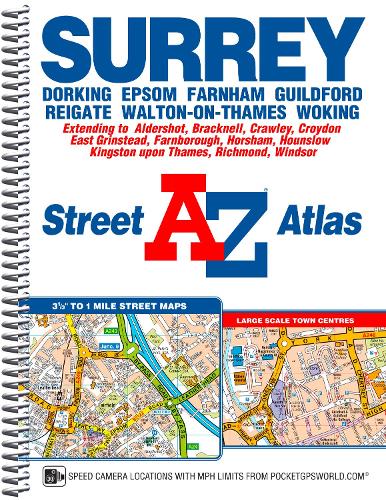
This A-Z map of Surrey is a full colour, spiral bound, street atlas featuring 200 pages of continuous street mapping covering the whole of the administrative county and postal area.
The mapping extends outside of Surrey to include: Aldershot, Bracknell, Crawley, East Grinstead, Farnborough, Horsham, London Gatwick Airport, London Heathrow Airport and Windsor.
Also included are:
•Large scale town centre maps of Croydon, Dorking, Epsom, Guildford and Kingston-upon-Thames.
•A postcode map of Surrey
•Countywide road mapping
Postcode districts, one-way streets, safety camera locations with their maximum speed and the Greater London Low Emission Zone boundary are featured on the street mapping.
The index section lists streets, selected flats, walkways and places of interest, park and ride sites, place, area and junction names, National Rail and London Underground stations and London Tramlink stops. There is a separate list of hospitals and hospices covered by this atlas.