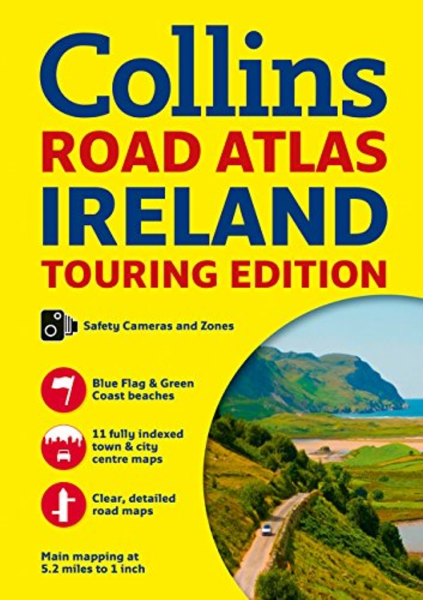
Road atlas, at A4 size, covering the whole of Ireland featuring clear and detailed Collins colour mapping at a scale of 5.2 miles to 1 inch.Perfect for both residents and visitors touring Ireland.
Clear, detailed and up-to-date Collins mapping showing:
* Places of tourist interest
* Contact information for Tourist Information Centres with grid references to the mapping
* Fully indexed street maps of 11 cities and towns - Dublin, Belfast, Cork, Limerick, Londonderry (Derry), Galway, Bangor, Waterford, Dun Laoghaire, Drogheda and Killarney
* Speed enforcement zones and fixed location speed cameras
* Blue Flag & Green Coast beaches
* Ferry and airport information; Distance chart; Distances marked on the roads in miles and kilometres
* Route planning map of the whole of Ireland at 15.8 miles to 1 inch
* Administrative map of Irish counties and districts