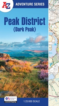
The A-Z Adventure Series uses Ordnance Survey mapping and is the perfect companion for walkers, off-road cyclists, and anyone wishing to explore the great outdoors.
This A-Z Adventure Atlas of the Peak District (Dark Peak) features 50 pages of continuous Ordnance Survey mapping covering:
- Peak District National Park (northern part)
- Kinder Scout
- Hope Valley
- Hathersage
- Castleton
- Snake Pass
- Derwent Valley
This National Trail Map features detailed mapping at a scale of 1:25 000, providing complete coverage of the Peak District (Dark Peak). Additional features include:
- Information Centres
- Hotels/B&Bs
- Youth Hostels
- Campsites (seasonal opening)
- Public Houses
- Shops
- Restaurants
- Cafes (seasonal opening)
- Petrol Stations
Other books available in the A-Z Adventure series include: Pembrokeshire Coast Path, Peddars Way and Norfolk Coast Path, South Downs Way, Cotswold Way, South West Coast Path and The North Coast 500.