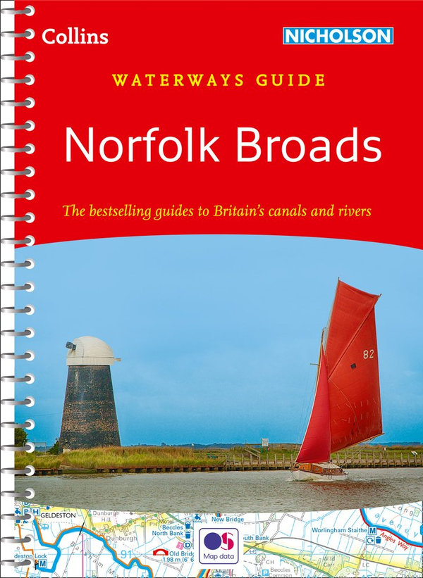
For all users of the inland waterways. This popular and practical guide covers the canals and waterways of the Broads National Park, including the Norfolk and Suffolk Broads and the Rivers Ant, Bure, Thurne, Wensum, Yare, Chet and Waveney. The detailed Ordnance Survey (R) maps clearly show the location of essential features such as locks, towpaths and boating facilities, as well as pubs, shops and restaurants in the area.