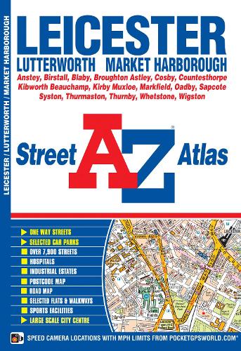
This A-Z map of Leicester is a full colour paperback featuring 62 pages of street mapping covering:
•Anstey
•Birstall
•Blaby
•Broughton Astley
•Cosby
•Countesthorpe
•Kibworth Beauchamp
•Kirby Muxloe
•Leicester Airport
•Markfield
•Oadby
•Sapcote
•Syston
•Thurmaston
•Thurnby
•Whetstone
•Wigston
There is separate coverage of Lutterworth and Market Harborough and a large scale city centre map of Leicester.
Postcode districts, one-way streets and safety camera locations with maximum speeds are featured on the mapping.
A postcode map and a road map of the Leicester area are also included.
The index section lists streets, selected flats, walkways and places of interest, place, area and station names, hospitals and hospices covered by this atlas.