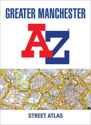
Navigate your way around Manchester with this detailed and easy-to-use A-Z Street Atlas.
Printed in full-colour, paperback format, this atlas contains 122 pages of continuous street mapping.
Coverage extends to: Bolton, Bury, Oldham, Wigan, Rochdale, Salford, Stockport, Ashton-in-Makerfield, Altrincham, Ashton-under-Lyne, Cheadle, Leigh, Littleborough, Macclesfield, Ramsbottom, Stalybridge, Standish, Wilmslow.
There is separate coverage of Knutsford and large scale city and town centre maps of:Manchester, Altrincham, Ashton-under-Lyne, Bolton, Bury, Oldham, Rochdale, Stockport, Wigan.
Postcode districts, one-way streets and National Park boundaries are also featured on the mapping.
Also included are:
• a postcode map of the Greater Manchester area
• a road map of the Greater Manchester area
• a Manchester Rail and Metrolink Connnections map
The index section lists streets, selected flats, walkways and places of interest, place and area names, National Rail and Metrolink station names, hospitals, hospices and NHS Walk-in Centres.