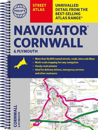
The only county Street Atlas with all the named streets of Cornwall and Plymouth.
With more than 24,000 named streets, roads, lanes and alleys, this is the essential map book for locals and visitors alike - especially if you need the most effective route.
Includes all the streets in FALMOUTH, NEWQUAY, PENZANCE, PLYMOUTH, SALTASH, ST AUSTELL, Truro, Bodmin, Bude, Cambourne, Camelford, Carbis Bay, Fowey, Hayle, Helston, Horrabridge, Launceston, Liskeard, Looe, Lostwithiel, Marazion, Mevagissey, Mullion, Newlyn, Padstow, Penryn, Plymstock, Polperro, Porthleven, Redruth, St Agnes, St Columb Major, St Ives, St Just, St Mawes, Stratton, Tavistock, Tintagel, Torpoint, Wadebridge, Yelverton
The only street atlas of its kind, this fully updated mapping of Cornwall and Plymouth gives comprehensive and detailed coverage of the county and unitary authorities - perfect for finding the best and most effective route anywhere in the area.
Routinely used by the emergency services, the street maps show every named road, street and lane very clearly, with major roads picked out in colour.
The route planner section shows all the A and B roads and can be used to get close to the destination before turning to the relevant large-scale street map. e, and show postcode boundaries.
Packed with useful information including car parks, railway and bus stations, post offices, postcodes, schools, colleges, hospitals, police and fire stations, places of worship, leisure centres, footpaths and bridleways, camping and caravan sites, golf-courses, and many other places of interest.
The easy-to-use colour-coded index