FRANCE'S MOST DETAILED ROAD MAPPING
The UK's best-selling Philip's Navigator series brings you France
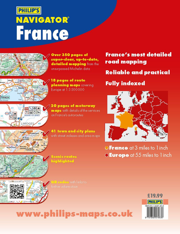
Everything you'll need for driving and visiting France
Comprehensive, accurate and up-to-date mapping
- Authoritative mapping from French experts Michelin
- Specialist super-clear road maps (520 pages)
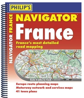
- Practical A4+ format with spiral binding
- Use QR codes to download additional town maps and tourist information
- Route planning maps covering all of Europe (18 pages)
- Large-scale of 3 miles to 1 inch = 1:200,000
- Essential Autoroute mapping - 20 pages which show all motorway service areas
- Town-centre maps with indexes (41), with approach and city-centre directions
- Scenic routes and back roads for touring France
- 72-page index with a map of the departments