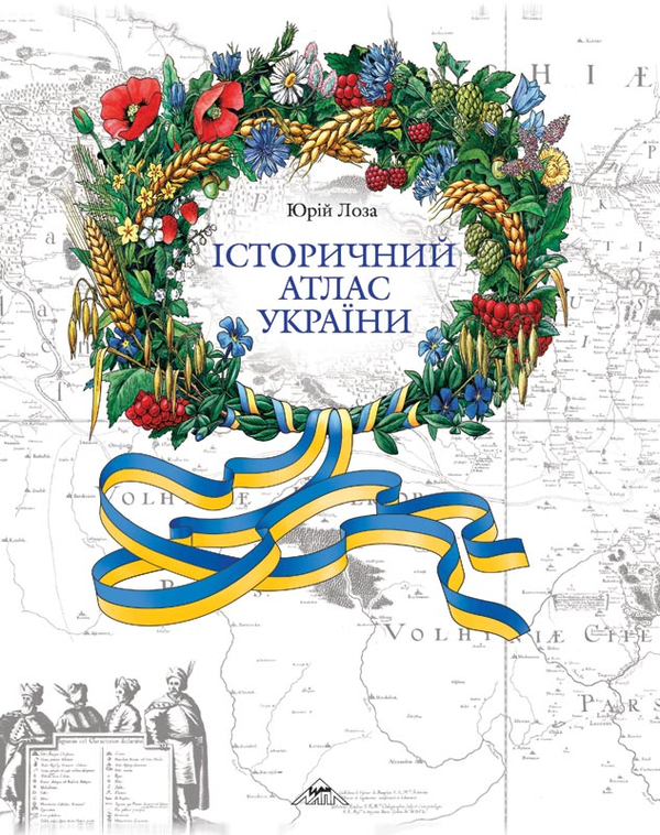
Book Historical Atlas of Ukraine
This is an automatically translated description
The Historical Atlas of Ukraine covers all periods of Ukrainian history - from the appearance of man in the Ukrainian lands to the most recent events of today, including Putin's Russia's war against Ukraine.
The maps of the atlas are grouped into 9 thematic and chronological sections.
In addition to important historical periods related to the development of primitive communities on Ukrainian lands, their migrations, the emergence of Indo-Europeans and Proto-Slavic, Proto-Slavic and Slavic tribes, we have focused special attention on the periods related to the history of Ukrainian statehood (Kyivan Rus, the Galician-Volynian state, the Ukrainian Cossack state, including autonomous formations within other states, as well as the state traditions of the modern era - the Ukrainian People's Republic, the Ukrainian State and the quasi-state within the USSR - the Ukrainian SSR).
Conceptually, the idea of the new atlas is in line with the historical atlases we have already published to date - the first volume of the large Historical Atlas of Ukraine [Historical Atlas of Ukraine: The most ancient past. Rus' (Kyivan State, Galician-Volynian State) / Project manager and author-compiler Yurii Loza - K., Mapa Publishing House, 2010. - 300 p.] and the atlas of the territorial structure of the Ukrainian lands of the Kyivan-Rus' period, which, in particular, deals with the borders and boundaries and urban and rural settlements of Rus' Ukraine against the background of the reconstructed ancient state of the area [Yurii Loza. Territorial Structure of Rus-Ukraine (X-XIII centuries): Atlas - K., Mapa Publishing House, 2012. - 54 p.].
The compilation of the new atlas was carried out in parallel with the preparation for the publication of the second volume of the large Historical Atlas of Ukraine, which is still in progress and covers the events of the period from the end of the XIV to the beginning of the XIX century.
Naturally, in the new atlas we are testing a certain number of newly compiled maps (of course, in a somewhat simplified form), which were prepared specifically for the 2nd volume of the large atlas.
A purely cartographic feature of our work is that such important components of the historical map as elements of the terrain (hydrography, coastline, and on a number of maps also forests and swamps), which are also tied to the relevant historical period, were worked out with special care. After all, it is known that geographical factors have always had a significant impact on the formation of the boundaries of ethnic groups' habitats, the borders of state entities, and the boundaries of internal division of these entities.
A significant number of borders and boundaries (another important element of any historical map) in the atlas are our own reconstruction, or rather, our interpretation of the location of the lines that delimited territorial complexes (states, administrative units, etc.) at different times, an interpretation that largely took into account geographical factors.