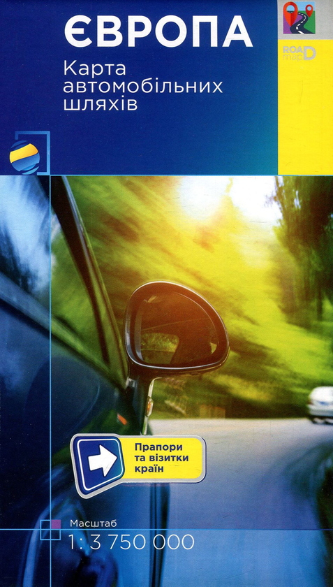
This is an automatically translated description
The map uses the latest mapping and reference information:
• European motorways, their numbering is updated as of 2017.
The road network is classified as follows:
• motorways;
• motorways with a dividing strip;
• motorways;
• main motorways;
• other important motorways.
For the convenience of those travelling abroad, the map shows the checkpoints of road transport across the state border of Ukraine.
The reverse side of the map is complemented by business cards of European countries, which show the national flag, capital, area and population, as well as a complete index of settlements' names.
Scale 1:3 750 000
Folded size 22 cm x 12 cm, unfolded size 108 cm x 82 cm.