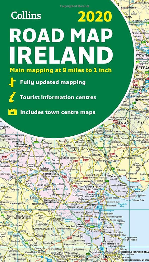
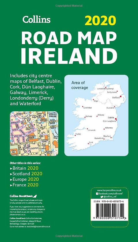
Full colour map of Ireland at 9 miles to 1 inch (1:570,240), with clear, detailed road network and counties and new administrative areas shown in colour. This double-sided map covers the whole of Ireland, and is ideal for reference or route planning.
This map of Ireland shows the road network in detail. It is ideal for business users, with its political colouring of local council areas, but it is also perfect for tourists as a route planning map.