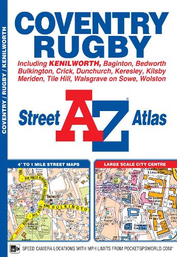
This A-Z map of Coventry and Rugby features 45 pages of continuous street mapping extending to:
•Bedworth
•Bulkington
•Keresley
•Allesley
•Baginton
•Coventry Airport
•Kenilworth
•Wolston
•Long Lawford
•Clifton upon Dunsmore
•Kilsby
•Crick
•Dunchurch
Also included are inset maps of Meriden, Brownsover and Thurlaston and a large scale city centre map of Coventry.
Postcode districts, one-way streets and safety camera locations with speed limits are also featured on the mapping.
The index section lists streets; selected flats, walkways and places of interest; place, area and station names; hospitals and hospices covered by this atlas.