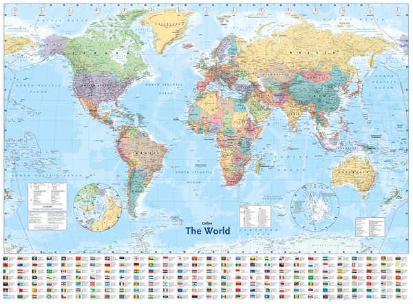
Fully updated world map to include the latest political changes. Contains politically coloured mapping showing each country and their capital city, major roads, railways and cities and towns clearly. Also included are national flags, key statistics for every country and inset maps of the polar regions.
This laminated (on front side only) map is printed on high quality paper and comes rolled in a plastic tube – ideal as a poster for any classroom, bedroom or office wall.
Area of coverage: All of the world, centred on the Greenwich Meridian, and including maps of the North and South Pole regions.
Scale: 1:22 000 000; 1 cm to 220 km; 1 inch to 347 miles Size: 1015 x 1380 mm (40 x 54 inches)