A deeply-researched exploration of medieval anti-Semitism through the mapping of Jews in England.
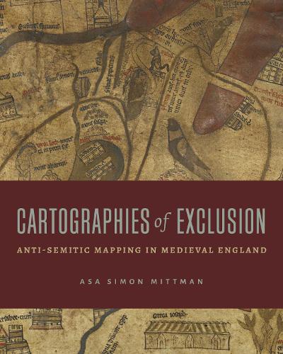
From the battles over Jerusalem to the emergence of the “Holy Land,” from legally mandated ghettos to the Edict of Expulsion, geography has long been a component of Christian-Jewish relations. Attending to world maps drawn by medieval Christian mapmakers, Cartographies of Exclusion brings us to the literal drawing board of “Christendom” and shows the creation, in real time, of a mythic state intended to dehumanize the non-Christian people it ultimately sought to displace.
In his close analyses of English maps from the twelfth and thirteenth centuries, Asa Mittman makes a valuable contribution to conversations about medieval Christian perceptions of Jews and Judaism. Grounding his arguments in the history of anti-Jewish sentiment and actions rampant in twelfth- and thirteenth-century England, Mittman shows how English world maps of the period successfully Othered Jewish people by means of four primary strategies: conflating Jews with other groups; spreading libels about Jewish bodies, beliefs, and practices; associating Jews with Satan; and, most importantly, cartographically “mislocating” Jews in time and space. On maps, Jews were banished to locations and historical moments with no actual connection to Jewish populations or histories.
Medieval Christian anti-Semitism is the foundation upon which modern anti-Semitism rests, and the medieval mapping of Jews was crucial to that foundation. Mittman’s thinking offers essential insights for any scholar interested in the interface of cartography, politics, and religion in premodern Europe.