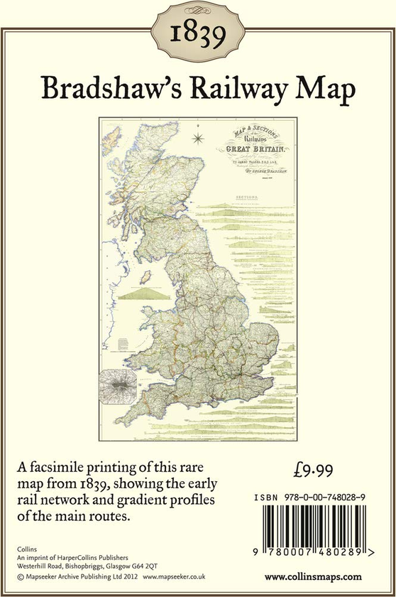
A facsimile printing of this rare Bradshaw railway map from 1839. This classic nineteenth century map of Great Britain shows the settlements, roads, and the railways of the time. The map, originally a folded map printed on cloth, has been cleaned and joined together to form an attractive flat wall map.