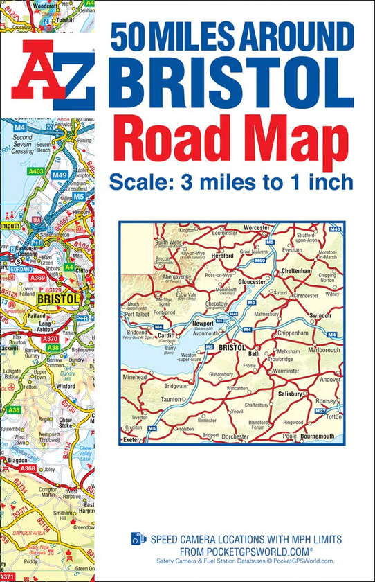
This A-Z 50 Miles around Bristol Map is a full colour, single sided road map covering an area extending to:
- Worcester
- Stratford-upon-Avon
- Witney
- Andover
- Bournemouth
- Exeter
- Port Talbot
The map is published at a clear 2 kms to 1 cm (3.156 miles to 1 inch) scale and includes the following features:
- Motorways with full junction detail, primary routes and destinations, A & B roads, under construction and proposed roads, service areas, tolls, mileages, county and unitary authority boundaries.
- Selected safety camera locations with speed limits.
- Selected fuel stations.
- National Park boundaries.
- Selected places of interest and tourist information centres.