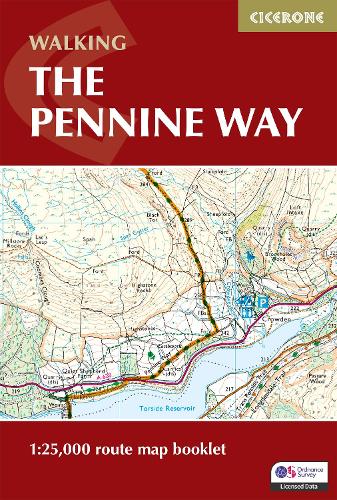
Book Walking the Pennine Way Map Booklet: 1:25,000 OS Route Mapping

Product code: 20864968

Book Walking the Pennine Way Map Booklet: 1:25,000 OS Route Mapping

Product code: 20864968
Format
Book language
Publisher
Year of publication
About book

A booklet of all the mapping needed to complete the Pennine Way, England’s toughest National Trail. Suited to fit experienced walkers, the 426km (265 mile) route from Edale to Kirk Yetholm follows northern England’s mountainous spine, passing through three national parks: the Peak District, the Yorkshire Dales and Northumberland.

  • The full route line is shown on 1:25,000 OS maps
  • The map booklet can be used to walk the trail in either direction
  • Sized to easily fit in a jacket pocket
  • The relevant extract from the OS Explorer map legend is included
  • An accompanying Cicerone guidebook – The Pennine Way is also available, which includes a copy of this map booklet
Details
Author
Number of pages
136
Delivery
Specify the delivery city To see exact delivery terms
Payment options
Online card payment (5% cashback)
Bank Transfer
Reviews
Do you have any questions? 0-800-335-425
Contact us
1232 UAH