This is an automatically translated description
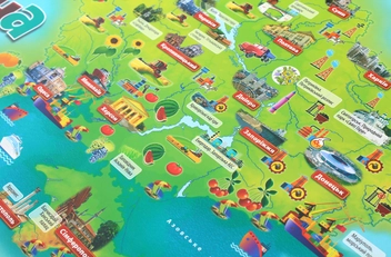
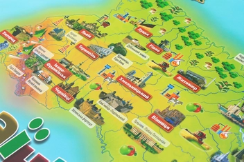
The map is designed for children of senior preschool and primary school age.
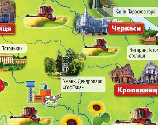
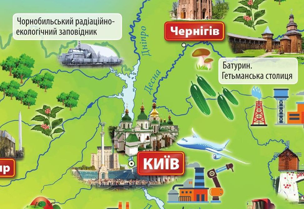
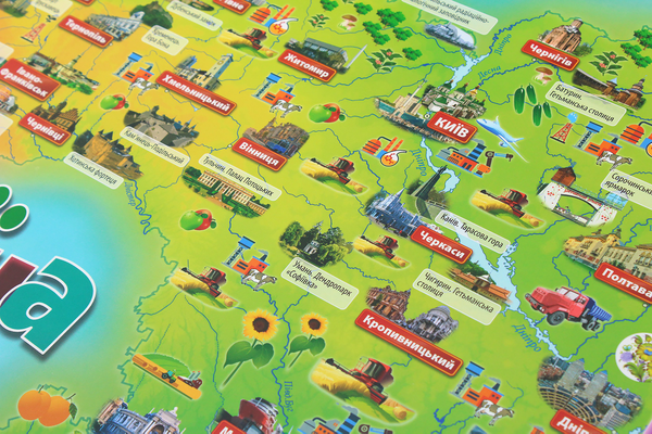
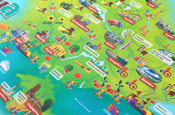
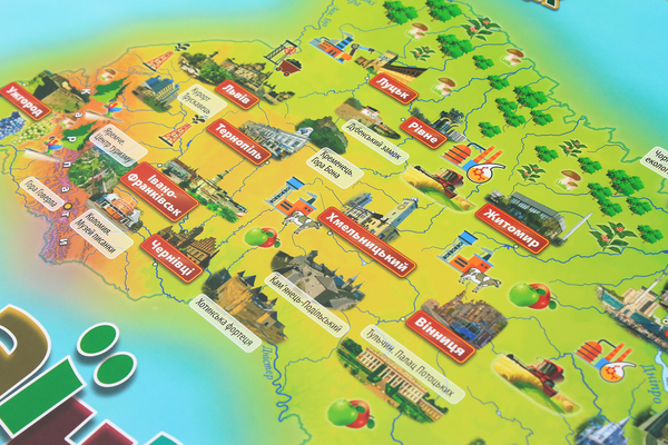
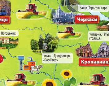
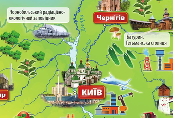
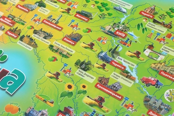
Vivid drawings in an accessible visual form show nature, economic activity, historical, cultural and nature reserve objects, places of interest, etc.
The map introduces children to our country as a whole and the peculiarities of its individual regions.
• The map shows the state symbols of Ukraine.
• Map of desktop format, matte lamination.