This is an automatically translated description
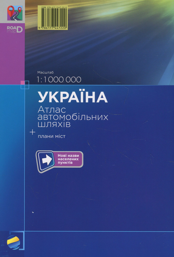
The Road Atlas of Ukraine was created for drivers of motorists and professionals. It shows modern motorways. The atlas provides reliable information on the location of settlements, distances between them, type and numbering of roads. The map of the atlas shows the borders and boundaries of the state, road transport checkpoints across the state border; petrol and gas compressor stations, airports, sea and river ports. The atlas contains plans of the largest cities of Ukraine with the main roadways.
M-b 1:1 000 000.
Edition 2019.