This is an automatically translated description
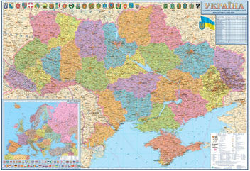
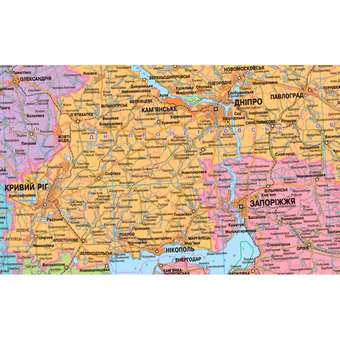
The map "Ukraine. Administrative and territorial structure" at a scale of 1:850,000 was updated in October 2020 by the Institute of Advanced Technologies.
Boundaries and centres of rayons are presented in accordance with the Resolution No. 807-IX "On Formation and Liquidation of Rayons", adopted by the Verkhovna Rada of Ukraine on 17.
07.2020
Map size: 160x110 cm
On the map "Ukraine. Administrative and territorial structure" map shows:
- 136 districts
- 461 cities
- 882 urban-type settlements (UTCs)
Insert maps:
Signatures
and inscriptions are made in Ukrainian.