'THE CLEAREST AND MOST DETAILED MAPS OF EUROPE' David Williams MBE, CEO Gem Motoring Assist
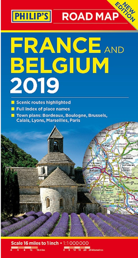
The map for navigating in France and Belgium:
- Main scale super-clear 1:1,00,000 (16 miles to 1 inch)
- Fully updated
- Scenic routes highlighted
- Maps on both sides - more for your money
- City plans: Bordeaux, Boulogne, Brussels, Calais, Lyons, Marseilles and Paris
- The important information for motoring: motorways (toll, pre-pay and free), mountain passes, railways, road numbers (European and local), distances between towns,
- Fully indexof place names
- Major city location maps
- All the places of interest for your trip: from castles, historic houses, beaches and national parks to theme parks, places of worship and ancient monuments
- includes Corsica
In fact, everything you need for your trip to France and Belgium