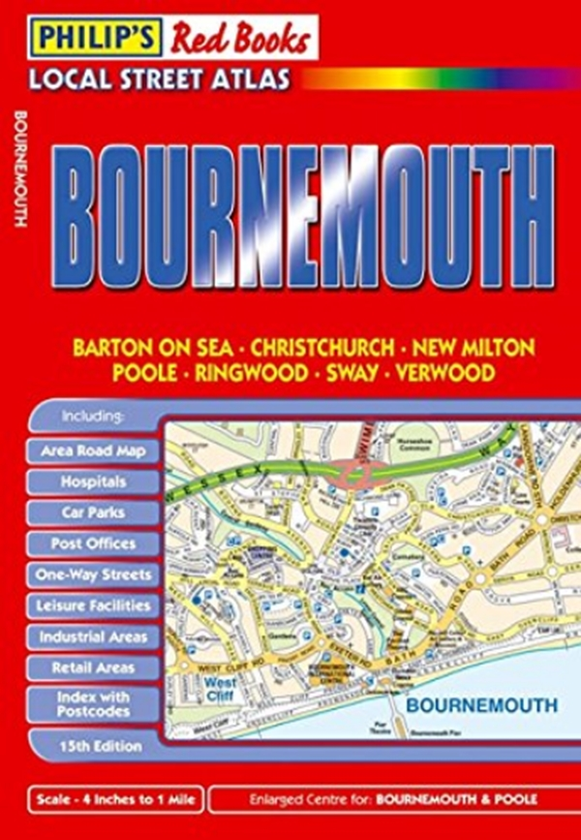
This local street atlas of Bournemouth and its surrounding towns and villages gives detailed coverage of the area at a scale of 4 inches to 1 mile. It also includes enlarged centre maps for Bournemouth (at 7 inches to 1 mile) and Poole (at 6 inches to 1 mile).The maps show hospitals, car parks, post offices, one-way streets, leisure facilities, industrial areas and retail areas, while the index lists street names and postcodes. An area road map enables the user to identify through-routes more easily.Pocket sized, and wire stitched so that it opens out flat, the atlas is ideally suited for both business and leisure use, whether by locals or visitors.