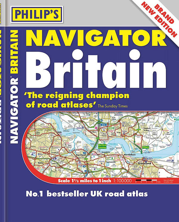
The No.1 Choice of Road Atlas for the serious motorist.
- Scale: 1.5 miles to 1 inch = 1:100,000 (Northern Scotland: 3 miles to 1 inch = 1:200,000)
- Britain's best road mapping in a practical spiral format.
- No other road atlas of Britain offers this level of detail and clarity
- Super-detailed 6-page route-planning section.
- Every street in Britain marked on the maps.
- Over 3000 roads named.
- 100 indexed town-centre maps plus approaches maps to 12 major urban areas.
- Exceptional road detail, from motorways to country lanes, with every junction, roundabout and slip-road shown.
- Thousands of individually named farms, houses and hamlets.
- 412 pages
Available in a robust flexiback binding, Philip's Navigator Britain is widely used by professional drivers and the emergency services, including national police training, and is recommended in the motoring press and national newspapers.