'THE BEST OF ITS KIND, WITH QUICK EASY-TO-USE INFORMATION' Fleet Week
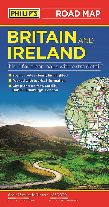
The bestselling fold-out road map for navigating in Britain and Ireland has been completely updated for all those wanting to go places in the British Isles - England, Scotland, Wales and all of Ireland. Whether driving through the most spectacular scenic routes each country has to offer, working out which county boundary applies, or planning your trip from Edinburgh to London, this handy map has all you need.
- Super-clear mapping scale 1:830,000 (13 miles to 1 inch)
- Key driving information: motorways (toll, pre-pay and free), mountain routes, railways, canals, road numbers, plus distances between towns
- All County Boundaries and Local Councils clearly marked
- Fully revised and up-to-date with the latest tourist and leisure information
- Scenic routes clearly highlighted from coastal to mountainous
- Places of interest: from castles, heritage sites, beaches and national parks to theme parks, places of worship and ancient monuments
- Includes the Channel Islands and Isle of Man
- Double-sided maps - more for your money and easier to use
- Detailed city plans: London, Edinburgh, Cardiff, Dublin and Belfast
- Full index of place names
In fact, everything you need for going places in Britain and Ireland.