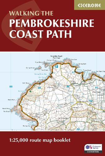
All the mapping you need to complete the 180 mile/290km long-distance Pembrokeshire Coast Path National Trail from Amroth to St Dogmaels in Wales. It typically takes two weeks to walk the whole trail, but it lends itself equally to day walking. It is suitable for walkers at all levels of experience.
This booklet of Ordnance Survey 1:25,000 Explorer maps has been designed for convenient use on the trail. It shows the full and up-to-date line of the Pembrokeshire Coast Path, along with the relevant extract from the OS Explorer map legend. It can be used when walking the trail in either direction. It is conveniently sized for slipping into a jacket pocket or top of a rucksack.
This booklet is included with the Cicerone guidebook to the Pembrokeshire Coast Path National Trail.
Renowned for its spectacular scenery, flowers, and wildlife, this route through the Pembrokeshire Coast National Park takes in some of Britain's finest coastal walking, in an area steeped in history.