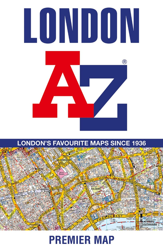
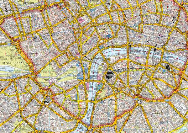
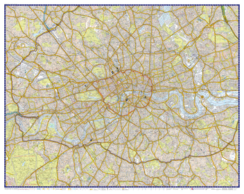
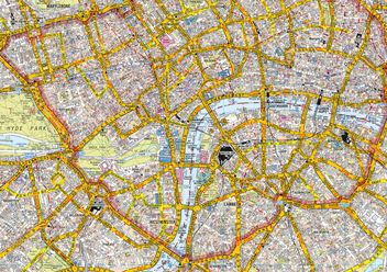
Navigate your way around London with this detailed, easy-to-use, and up-to-date A-Z Premier Map.
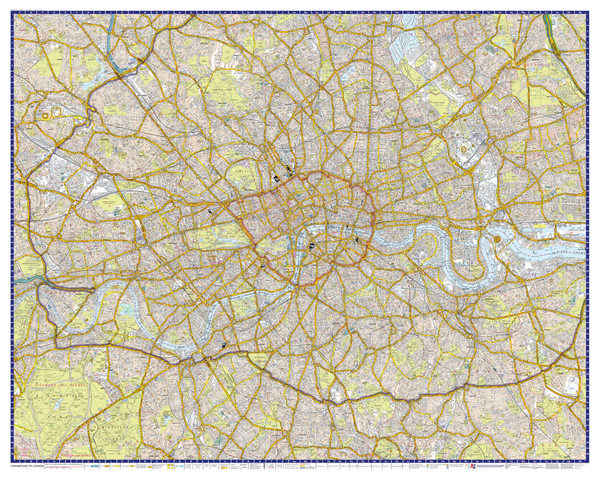
A full-colour, single sided, fold-out street map, covering a six-mile radius from Charing Cross in Central London. Extending to Muswell Hill to the north, London City Airport to the east, Crystal Palace to the south, and Wembley to the west.
Attached to the cover is a booklet containing a comprehensive index of more than 40,000 streets, along with selected flats, walkways, places of interest, fire stations, hospitals and hospices within this region.
Also included on the map are postcode districts, one-way streets, the congestion zone boundary and the ULEZ boundary. There is also a separate and up-to-date TfL underground map.
This iconic map is a trusted means of finding your way around the capital city.