This is an automatically translated description
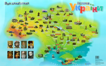
The map is designed for children of senior preschool and primary school age.
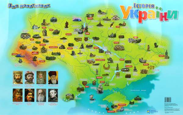
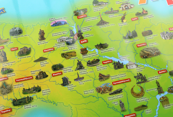
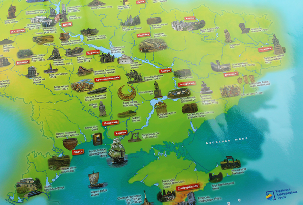
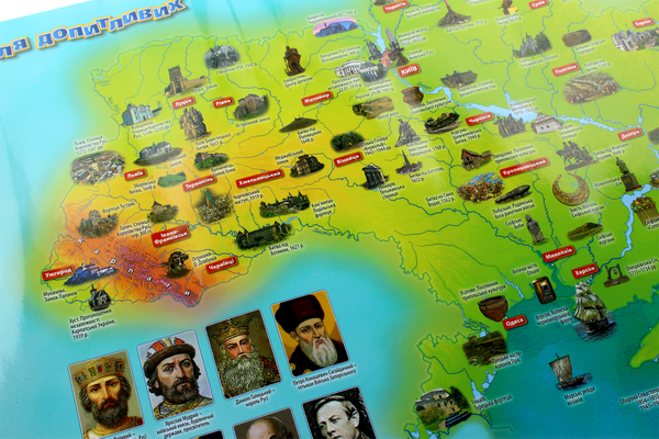
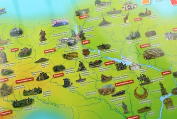
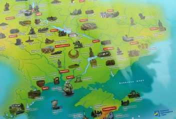
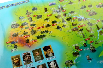
The map shows the main historical events on the territory of Ukraine in bright pictures, in an accessible visual form. The map shows monuments of ancient cultures (Trypillian settlements, Scythian mounds, ancient cities), capitals of Russian principalities, hetman capitals, the most important battles and events, castles, fortresses, etc.
The map introduces children to the history of our country and its regions from the ancient past to the present.
The map shows portraits of famous figures of Ukrainian history.
- The map is a desktop format, matte lamination.
- Size 41 cm x 63 cm
.