This is an automatically translated description
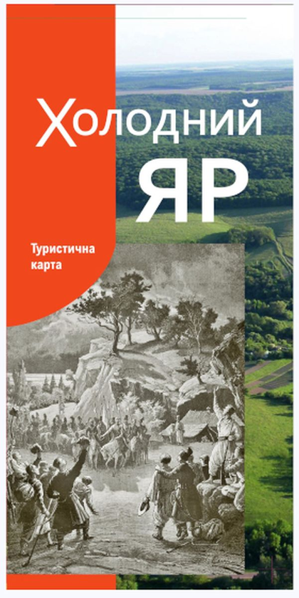
The 1:170,000-scale tourist map of Kholodnyi Yar is dedicated to the glorious history of this region.
The publication contains up-to-date information on the most popular tourist locations in the region. The
map shows architectural, natural, historical and cultural monuments, a tourist route through the National Historical and Cultural Reserve Chyhyryn and Kholodnyi Yar, and ancient trade routes that passed through the region. The modern transport and tourist infrastructure (roads and their numbering, railways, hotels) is also presented.
The map has a high degree of detail of residential areas of settlements, hydrography, relief, and vegetation cover.
The back of the publication contains a text part dedicated to historical events and sights of Kholodnyi Yar and Chyhyryn district, which have long been places of Cossack glory. It describes the events of the Ukrainian Cossack state (Hetmanate), the Haidamachyna, the Ukrainian liberation struggle, and World War II.
The publication will help tourists to plan their holidays and get acquainted with the sights of this region.
Map dimensions - 59.4 x 42.0 cm, folded - 10 x 21 cm.