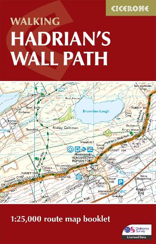
All the mapping you need to walk the Hadrian’s Wall National Trail between Bowness-on-Solway in Cumbria and Wallsend, Newcastle. Covering 135km (84 miles), this historic route takes around 10 days to hike. Suitable for beginners, it nevertheless requires a reasonable level of fitness to undertake as a multi-day walk.
- The full route line is shown on 1:25,000 OS maps
- The map booklet can be used to walk the trail in either direction
- Sized to easily fit in a jacket pocket
- 2-stage route extension through Newcastle to South Shields on the east coast is also shown
- A separate Cicerone guidebook – Walking Hadrian’s Wall Path – is also available, which includes a copy of this map booklet