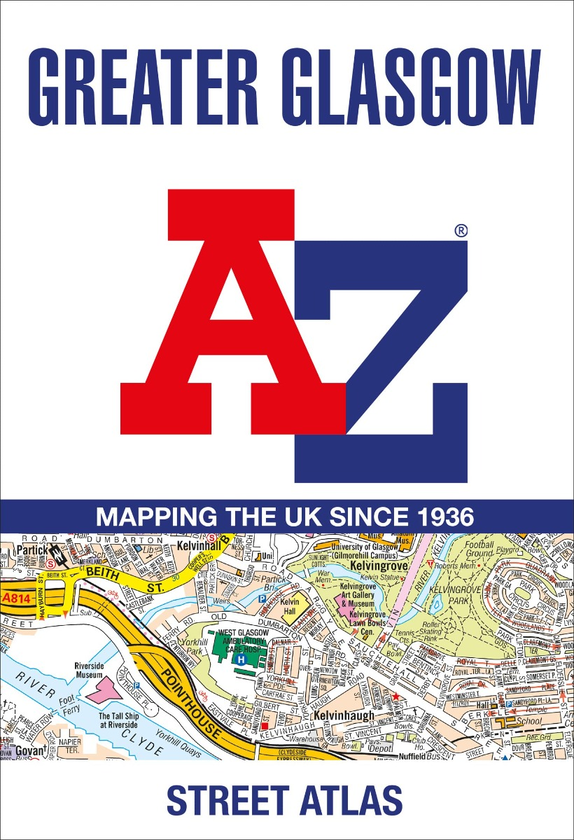
Navigate your way in and around Glasgow with this detailed and easy-to-use A-Z Street Atlas.
Printed in full-colour, paperback format, this A4 atlas contains 168 pages of continuous street mapping. More than 23,000 streets indexed.
The main mapping extends well beyond central Glasgow at a scale of 5.4 inches to 1 mile, featuring postcode districts, one-way streets and park and ride sites.
Areas covered include Hamilton, Motherwell, Paisley, Clydebank, Coatbridge, Airdrie, Renfrew, Kirkintilloch, Dumbarton, Milngavie, Cumbernauld, Johnstone, Barrhead, East Kilbride, Larkhall, Carluke.
The large-scale street map of Glasgow city centre is at a scale of 10.82 inches to 1 mile.
The atlas also includes:
* Postcode map of the Glasgow area
* Road map of the Glasgow area
* Diagrammatic map of rail and subway connections
A comprehensive index lists streets, places & areas, industrial estates, selected flats & walkways, junction names & service areas, stations and selected places of interest.