This is an automatically translated description
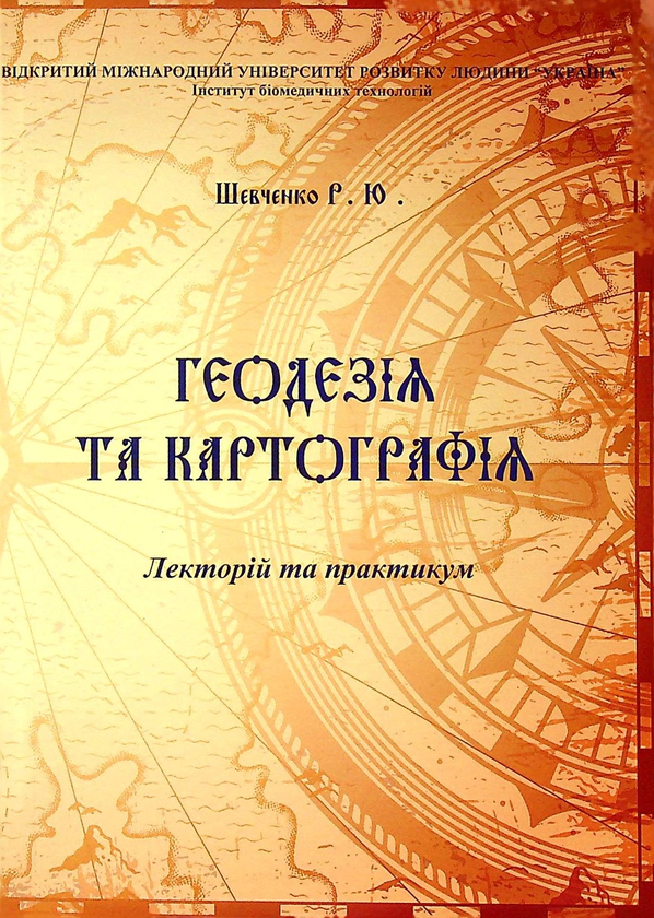
The study guide is structured into five modules of special thematic content (geodetic and geomatic basics, geo-iconic and cartographic practices, basics of photogrammetry, remote sensing and UAV mapping, GIS technologies, basics of constructive and ecological mapping of the territory of Ukraine) and a glossary of professional terms in geodesy and cartography for specialists in constructive ecology and permaculture.