This is an automatically translated description
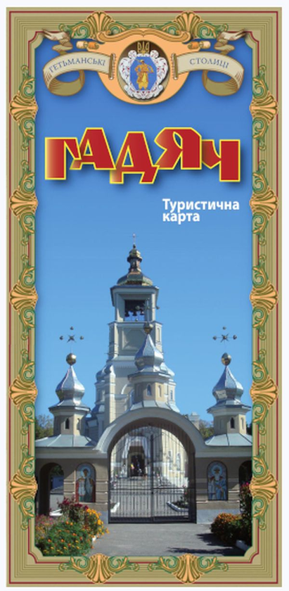
The tourist map «Hadiach» (series «Hetman Capitals») is aimed at a wide range of users interested in the history of the Ukrainian Cossacks of the Hetmanate. The publication consists of a map of the central part of the city of Hadiach, its surroundings, and the map «Hetmanate on the modern map of Ukraine».
The map of the central part of the city and its surroundings shows historical monuments of the Hetmanate era, cultural heritage sites associated with the names of the Drahomanov, Kosach and other prominent personalities of the city, religious buildings, museums, etc. The map "Hetmanate on the Modern Map of Ukraine" shows the borders of the Hetmanate in 1667-1782, its capital Gadyach (1708-1782) and hetman residences. In addition, the map and plan show the modern transport and tourist infrastructure (roads, railways, hotels, cafes, car parks, petrol stations, shops, etc.)
The back of the publication contains a text part dedicated to the glorious history of the city and prominent personalities of the region.
The map dimensions are 29.7 x 42.0 cm, folded 10 x 21 cm.