This is an automatically translated description
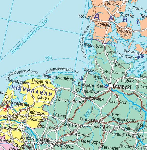
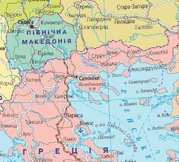
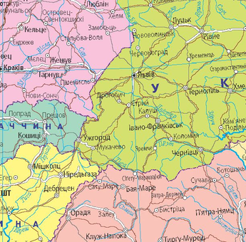
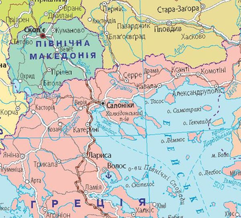
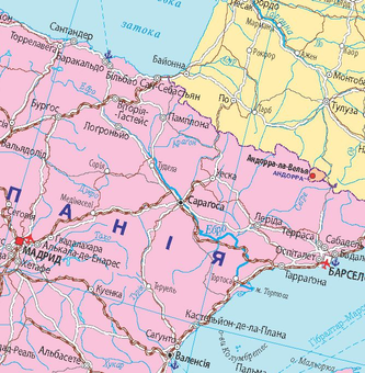
The map shows the current political structure of Europe. The settlements are shown by administrative significance and number of inhabitants. Transport routes are shown: expressways and other motorways, high-speed (over 200 km/h) and other railways, sea routes, major international airports and seaports.
Contains extensive statistical information about the states, which is presented in the table:
- flag;
- area of the territory;
- population;
- capital, number of inhabitants
- state system
.
- GDP nominal and per capita
.
official languages.
Wall map, printed on paper, matte lamination.