This is an automatically translated description
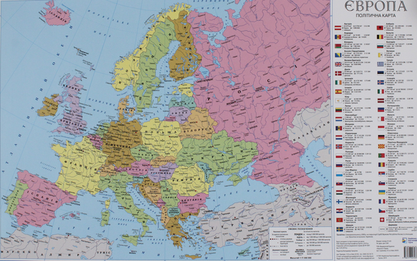
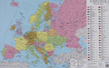
• The map shows the current political structure of European countries.
• Settlements are shown by administrative significance and number of inhabitants.
• The map shows the flags of each country, territory area, population, GDP, capital with the number of inhabitants and the official language.
• Wall map printed on paper with matte lamination.
• Scale 1:11 000 000
• Size 63x41 cm