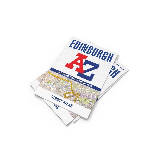
Navigate your way around Edinburgh with this detailed and easy-to-use A-Z Street Atlas.
Printed in full-colour, paperback format, this atlas contains 45 pages of continuous street mapping.
The main mapping extends beyond central Edinburgh at a scale of 3.33 inches to 1 mile, featuring postcode districts, one-way streets, park and ride sites, and safety camera locations. Areas covered include:
- South Queensferry
- Leith
- Prestonpans
- Tranent
- Musselburgh
- Dalkeith
- Bonnyrigg
- Loanhead
- Gorebridge
- Penicuik
- Balerno
- Edinburgh Airport
The large-scale street map of Edinburgh city centre – at a scale of 6.67 inches to 1 mile – includes:
- Places of Interest Guide, highlighting the city’s major tourist attractions and world-famous Edinburgh Festival
- Postcode map of the Edinburgh area
- Road map of the Edinburgh area
- Diagrammatic map of rail and tram connections
A comprehensive index lists streets, selected flats, walkways and places of interest, place, area and station names. Additional healthcare (hospitals, walk-in centres and hospices) and transport connections (Edinburgh Tramway stops) are indexed as well.