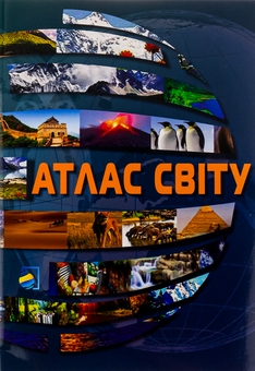
Book World Atlas

Real title: Атлас Світу
5
2
Product code: 1426621
Format
The product is included in the following promotions:
Book language
Publisher
Year of publication
About book

This is an automatically translated description

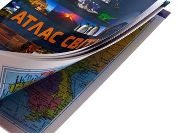
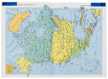
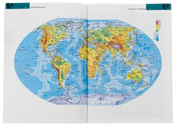
The World Atlas is a modern reference cartographic publication intended for a wide range of readers. The Atlas contains physical and political maps of the world, time zones, continents and groups of countries, and Ukraine. The maps of the atlas reflect the current political structure of the world, provide information on settlements, communication routes, hydrography, and orography.

The cartographic material of the atlas is supplemented by up-to-date reference information on independent states and dependent territories - official names, flags, country areas, administrative structure, ethnic and religious composition of the population, official languages, national currency, etc. Country background information includes up-to-date statistical data (population of countries, population of their capitals, population density, GDP, etc.). The atlas also provides information on the largest cities, agglomerations, mountains, rivers, and islands of our planet.

Details
Number of pages
80
Published
2022
Delivery
Specify the delivery city To see exact delivery terms
Payment options
Online card payment (5% cashback)
Оплата карткою "ДІЯ єКнига (виплата на 18-ліття) - 998,40 грн"
Reviews
5
2
Елена
19 December 2025 y.
Рекомендую.
Цей атлас світу став для мене настільною книгою. Окрім карт, містить довідкові дані про кожну країну (офіційні назви, прапори, площі, населення, ВВП, мови, релігії). Атлас включає карти світу, материків, груп країн, України, часових поясів, а також інформацію про найбільші міста, гори, річки, острови. Призначений для широкого кола читачів, пропонуючи актуальні географічні знання. Це видання вітчизняного виробника, що підкреслює національний контекст і якість картографічних матеріалів.
Елена Богатченко
11 February 2025 y.
Атлас світу.
Цей «Атлас світу» недорогий і зручний у використанні. Я ним дуже задоволена. Для постійного користування цей атлас найкращий вибір. Атлас містить. Політичні карти. Фізичні карти. Незалежні держави. Залежні території. Додаткові дані: Найвищі гори. Найдовші річки. Найбільші острови.
Do you have any questions? 0-800-335-425
Contact us
267 UAH